


Emines 280923

guyernage25
User
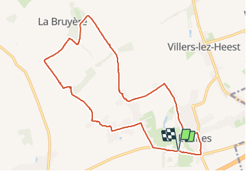

Length
9.8 km

Max alt
191 m

Uphill gradient
106 m
Km-Effort
11.2 km

Min alt
150 m

Downhill gradient
107 m
Boucle
Yes
Creation date :
2023-09-28 07:32:39.207
Updated on :
2023-09-28 09:55:13.391
2h22
Difficulty : Easy

FREE GPS app for hiking
 SityTrail
IGN / Geographical institutes
SityTrail Plus
The world is yours!
About
Trail Walking of 9.8 km to be discovered at Wallonia, Namur, La Bruyère. This trail is proposed by guyernage25.
Description
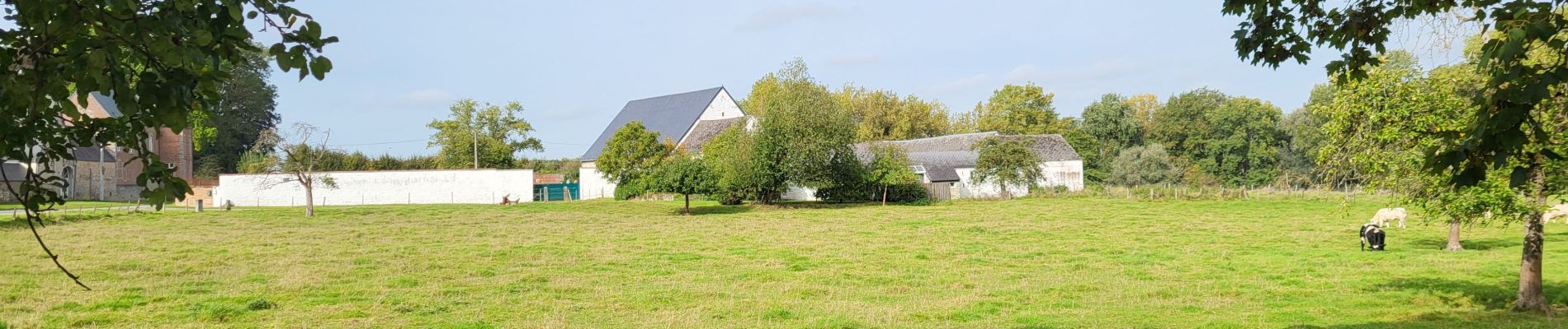
Belle balade campagnarde par sentiers et bosquets
Photos


Positioning
Country:
Belgium
Region :
Wallonia
Department/Province :
Namur
Municipality :
La Bruyère
Location:
Unknown
Start:(Dec)
Start:(UTM)
630390 ; 5597255 (31U) N.
Comments